Offa's Dyke - Day 1:
As mentioned in the previous blog post, we want to celebrate our 25th wedding anniversary in style. Mary suggested we walk Offa's Dyke and I only went ahead and actually booked it all for a twelve day hike. You see, as a devoted husband, I do as I am told!
To say we've been looking forward to this with some trepidation is an understatement. Since early January we've been doing several long practice walks to ensure our equipment behaves, we understand how to pace ourselves and feel what long (20 mile or more) walks feel like.
And today, the moment came for us to start our walk.
We arrived by train at Chepstow, and booked into a guest house called, appropriately enough, The First Hurdle. It happened to have an award winning pizza parlour attached to it, so that was our evening meal sorted. Afterwards we looked at the map and realised that we'd be walking the first mile or so to the starting stone, only to have to retrace our steps to within a short distance of the guest house. Given that day 1 was also the longest day by quite some distance (19.5 miles) we thought we'd give ourselves a head start and walk the first mile in the evening, thus saving us some time in the morning. And so, as the dusk was falling, we trekked south from Chepstow to the starting stone.
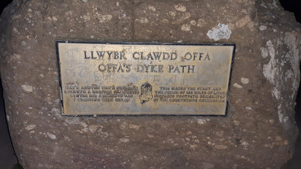
We were very excited to find the stone, look across the Severn estuary and take in that we were taking our first steps together on a very very long journey. This was just as we had done so (metaphorically speaking) all those years ago on the day of our wedding.
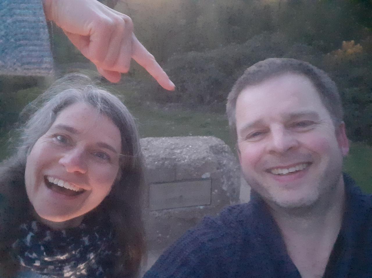
In the morning, we were met at breakfast with a full English (vegetarian) and lots of coffee. That seemed to do the trick and put the fire in our bellies. The helpful waitress took this photo of us, just as we were about to set off.
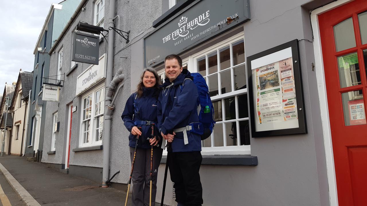
Yes dear reader, independently of each other we have purchased pretty much the same GorTex jackets and trousers. We definitely look like the middle aged "Mr. and Mrs." that we so clearly and unwittingly are. :-)
I have on my phone an Ordinance Survey app into which I can load pre-planned GPX files that define our route. I created our GPX routes back in January (based upon the official "Offa's Dyke" guide - sadly Offa is no longer with us to sign such books), and careful testing during our training sessions showed the Ordinance Survey app was the clear winner for ease of use and simplicity.
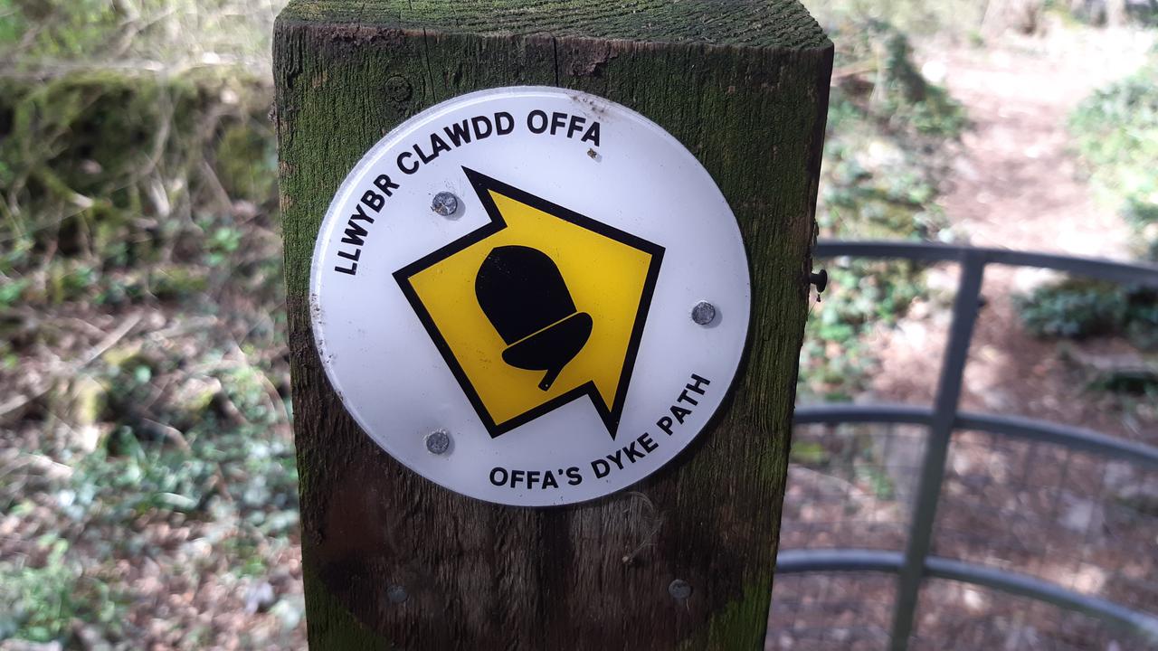
However, we could have saved ourselves the trouble: a squirrel like ranger, with a love of acorns had clearly marked our route at every turn. Actually, because the Offa's Dyke route is designated a National Trail (and there are several of these in the UK) an acorn logo is used to tell you you're on such a long distance footpath, administered and maintained by Natural England and Natural Resources Wales.
Another unexpectedly common feature of our walk was the large number of kissing gates. I always thought they were so named because, if you were walking with someone, the tradition when passing through such gates, was to share a kiss. I've just looked at the Wikipedia page (linked to above), and it appears I was wrong.
Apparently...
The name comes from the gate merely "kissing" (touching) the inside of the enclosure.
We counted 34 such gates, and we kissed at each one. I'm not going to tell Mary that we've got our "kissing gate" story wrong, just to see if she actually reads this blog post..! I think our reason is far better, and certainly more appropriate given our 25th wedding anniversary. :-)
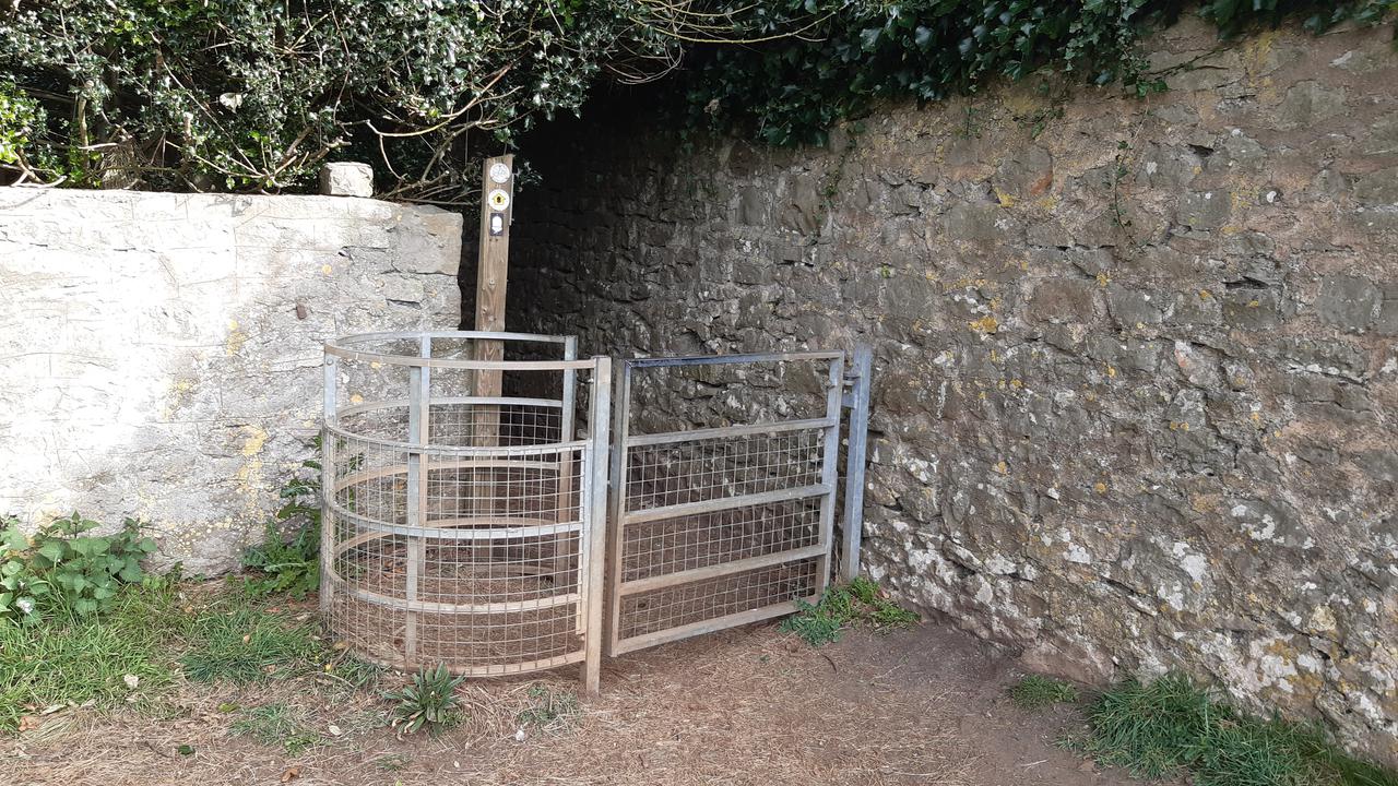
The weather was wonderful. We had a crisp April day that was full of sunshine, but not unbearable heat. Conditions under foot were good and we were treated to all sorts of wonderful moments where we allowed ourselves to be in nature.
We mostly walked three types of terrain: wood, hills and river banks. I think my favourite was the woodland walking (perhaps because I'm originally from Sherwood Forest).
We were treated to all sorts of sensory stimulation: the smell of wild garlic, the fresh April breeze, the sound of the river Wye along whose banks we walked, and, of course, a lot of birdsong. I made this recording in the woods at the top of the cliffs that overlook Tintern.
Talking of Tintern... for much of the walk we were following in the august footsteps of William Wordsworth, who wrote Lines Written a Few Miles above Tintern Abbey.
Five years have passed; five summers, with the length
Of five long winters! and again I hear
These waters, rolling from their mountain-springs
With a sweet inland murmur. — Once again
Do I behold these steep and lofty cliffs,
Which on a wild secluded scene impress
Thoughts of more deep seclusion; and connect
The landscape with the quiet of the sky.
The day is come when I again repose
Here, under this dark sycamore, and view
These plots of cottage-ground, these orchard-tufts,
Which, at this season, with their unripe fruits,
Among the woods and copses lose themselves,
Nor, with their green and simple hue, disturb
The wild green landscape. Once again I see
These hedge-rows, hardly hedge-rows, little lines
Of sportive wood run wild; these pastoral farms
Green to the very door; and wreathes of smoke
Sent up, in silence, from among the trees,
With some uncertain notice, as might seem,
Of vagrant dwellers in the houseless woods,
Or of some hermit’s cave, where by his fire
The hermit sits alone.
Here we are, a few miles above Tintern Abbey.
We tramped the steep and lofty cliff, saw plots of cottage ground in the villages below, and carefully found our way through woods and copses as we travelled over the wild green landscape.
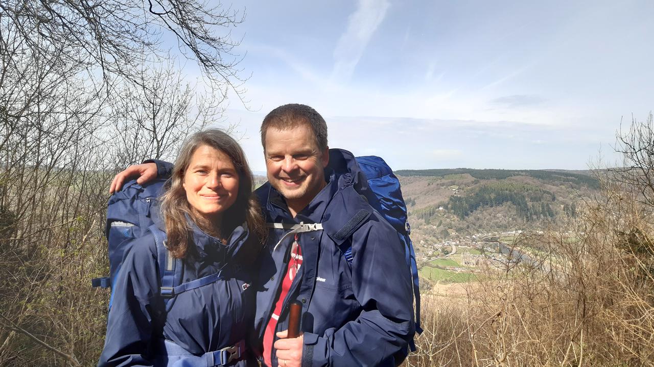
As we descended into Brockweir we started having thoughts of food. Sadly, there wasn't the hoped for pub, cafe or other means of nourishment. Brockweir hasn't a lot going for it apart from the beautiful river Wye and the scenery more than made up for the lack of food and drink!
It was as we walked north along the river bank that today's "incident" took place. At some point, and we're not sure where or how, Mary dropped her mobile phone. We had got about 2 miles north of Brockweir when Mary discovered it was missing. At this point we put on the hand-brake, did a swift 180° turn and stomped in completely the wrong direction while regularly phoning Mary's missing mobile to no avail. After perhaps 1.5 miles the phone was answered by a friendly lady.
To ensure I was easily identified as the husband of the owner of the phone, I described myself as, "a middle age chap, wearing a TUBA t-shirt, with a heavy backpack and staff".
She replied that she was heading north.
At this point, I could see a lady in the distance talking on a phone. So I mentioned I was furiously waving my staff above my head and she replied,
"Oh yes, I see you. I'll be there in 5 minutes."
Happily, Mary was reunited with her phone, but not after adding 3 miles to our total for the day.
I wish I could say this was the only incident on day 1.
But, our naivete about the culinary qualities of Brockweir meant we didn't have anywhere to grab lunch. As a result, we drank all our water (which was rather concerning) and cracked open the emergency supply of chocolate Easter eggs. (Just writing this down, makes me feel stupid, dear reader.) And so the last few miles into Redbrook were more of a struggle than they should have been given our empty tummies and the onset of thirst.
Yet, as with our journey through life, we both enjoyed ourselves during the good times (for instance, walking in the woods), and supported and encouraged each other when faced with a challenge. I can happily report both Mary and I, on different occasions, helped the other overcome their moaning. ;-)
Here's Mary, descending into Redbrook with Monmouth in the distance.
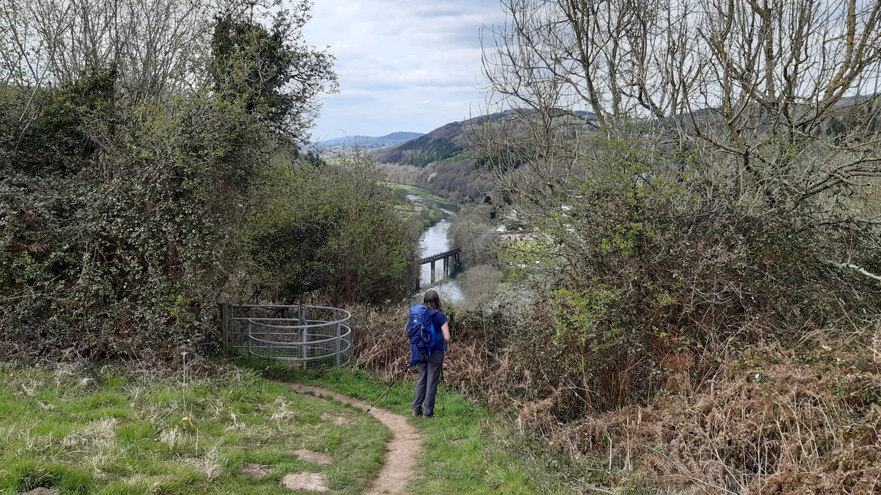
Happily, Redbrook had a pub.
Unhappily, we were too late for food.
However, I think I consumed the world's best pint of bitter and packet of salt and vinegar crisps whilst in that drinking establishment... or at least, that's how it felt, and after 20 minutes of resting and enjoying our repast, we creaked back into gear for the final push to Monmouth.
When we arrived at the Queen's Head Inn we were cheerfully greeted by Neil, the publican, who made us feel very welcome and recommended a fantastic Italian restaurant for our evening meal. I'm not sure what the waiters made of us, but I think we set some sort of speed-of-eating record in their restaurant, because we woofed down some amazing, fresh and locally sourced Italian cuisine.
As I write this post, below us we hear live music from the bar, and Mary and I will soon descend for a final drink, and listen to the music for a while before a well deserved sleep.
Finally, here's a map of the route we covered today. We're not quite sure how far we actually walked, given the unplanned repeat of the river walk, but we think we managed somewhere north of 22 miles.
Tomorrow we head to Llangattock Lingoed, which is, as far as we can tell, completely in the middle of nowhere. As a result, we've spied a good bakery in Monmouth and will stock up with picnic provisions for tomorrow and the day after (which will end in Hay-on-Wye).
Onwards! :-)